ORBNET Live Maps
Live Mapping integrated with Milestone XProtect
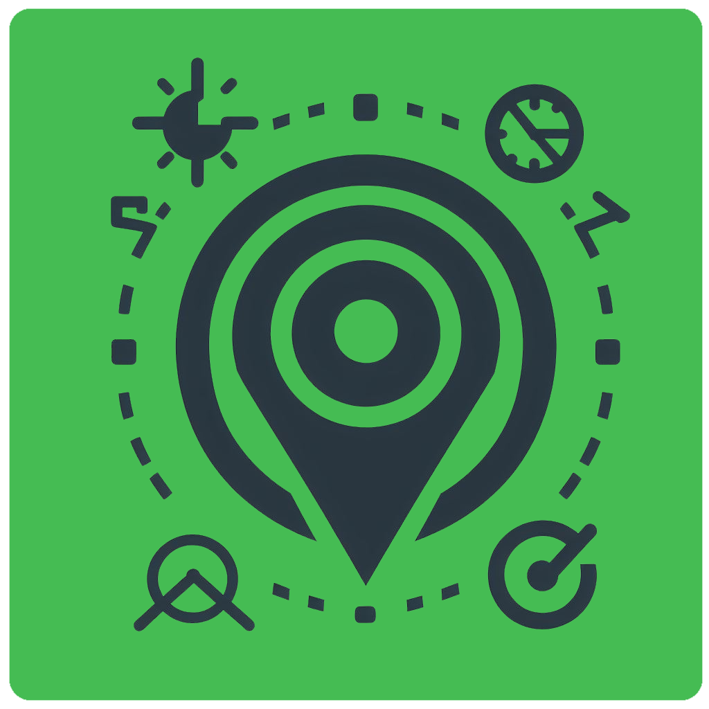
Monitor and Manage Assets in Real-Time
ORBNET Live Maps is a cutting-edge GIS mapping solution integrated with Milestone XProtect. Visualize, monitor, and manage security assets and events on an interactive map in real-time. Access historical data and analytics to optimize operations and enhance situational awareness across industries like smart cities, transportation, and retail.
Key Features

XProtect Smart Client Power Up
Track and monitor objects in real-time, record location data, and replay movements to gain insights into behavior, patterns, and trends.

Device Compatibility
Supports ONVIF-compliant GPS metadata and integrates external data via a rich REST API, enabling tracking of non-Milestone assets.
Real-Time & Historical Data
Monitor objects in real-time, store location data, and replay interactions to analyze behavior and trends.
Scalable & Reliable
Manage thousands of devices on a single map with customizable layouts for a comprehensive view of sensors, cameras, and more.
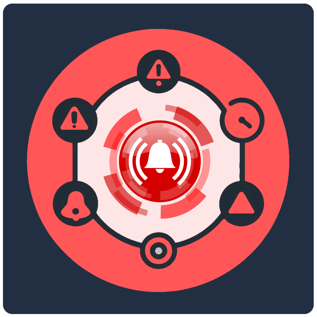
Alarm Management
Monitor and manage camera-triggered alarms with a graphical interface, customizable filters, and one-click acknowledgment.
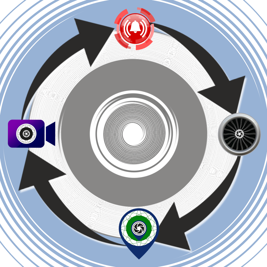
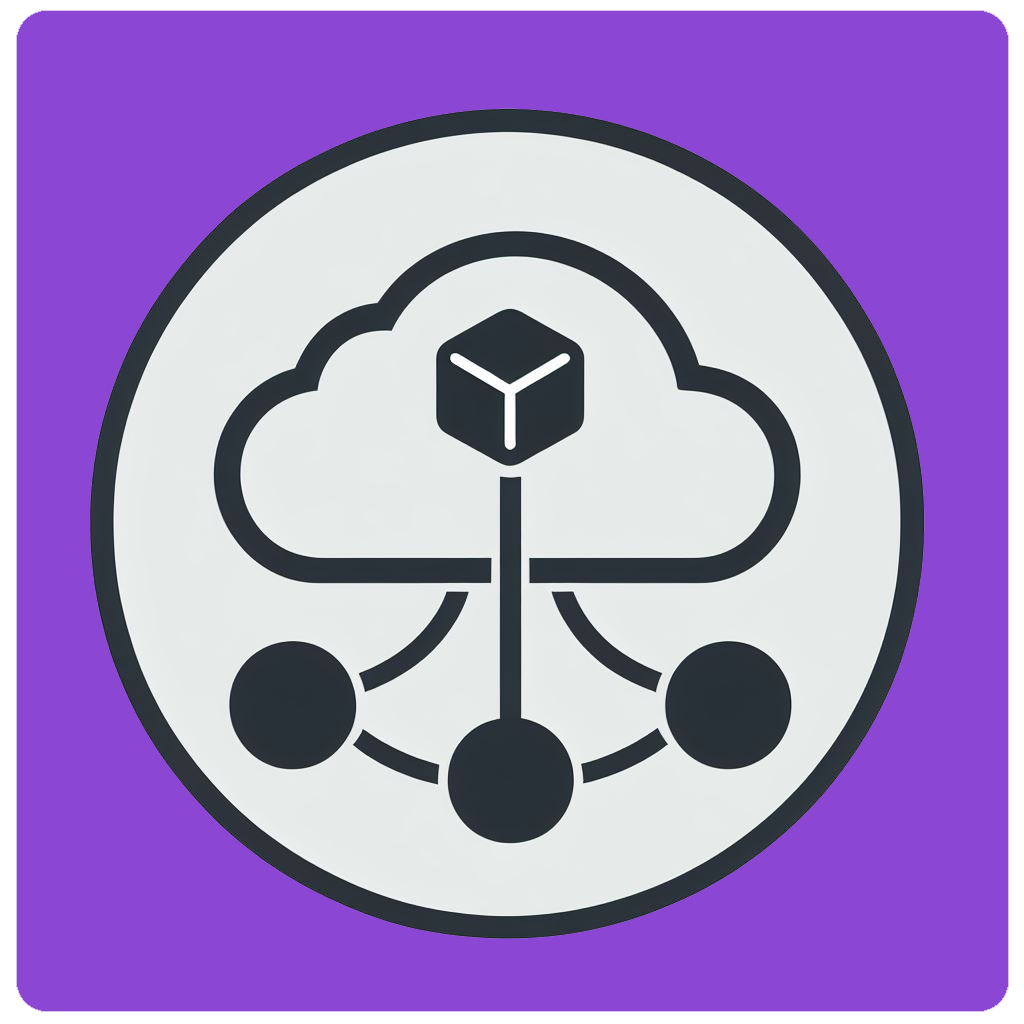
Integrated with ORBNET Products
Works seamlessly with ORBNET Streaming Engine, ORB Driver, ORB Tracker, and the upcoming ORB Compass.
Simple, Powerful Solution
ORBNET Live Maps enables real-time tracking and management of vehicles, assets, and people with accurate data, customizable views, and seamless integration.
Features & Protocols
- Seamless integration with Milestone XProtect.
- Real-time visualization and management of security assets on an interactive map.
- Access to historical data and analytics for operational optimization.
- Suitable for smart cities, transportation, critical infrastructure, and retail.
- Track vehicles, detect intrusions, locate persons, and respond to emergencies.
- Supports ONVIF-compliant GPS metadata and external data via REST API.
- Manage thousands of devices with customizable map layouts.
- Monitor and manage alarms with a graphical interface and customizable filters.
- Integrates with ORBNET Streaming Engine, ORB Driver, ORB Tracker, and ORB Compass.
Screenshots
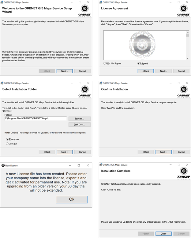
Simple Installation Process
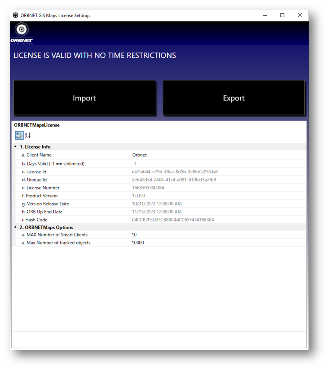
License Settings
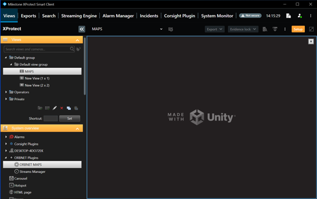
ORBNET Live Maps is made with Unity
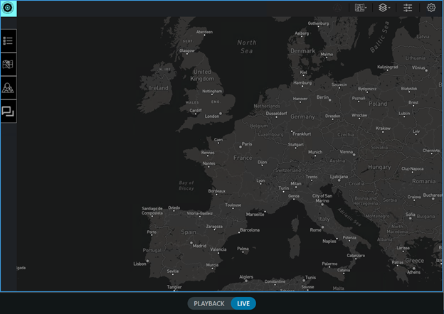
Map view showing Europe
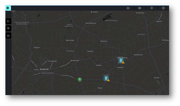
Objects shown on Live Maps
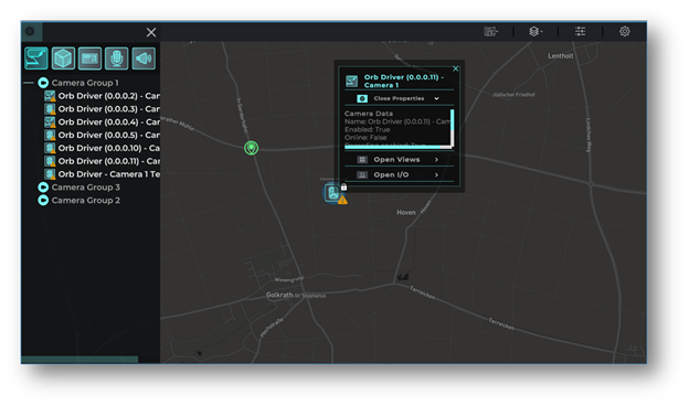
Side Panel Management
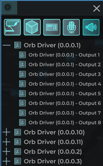
Side Panel Management
Tracked ojects shown in real-time
See tracked object historical data
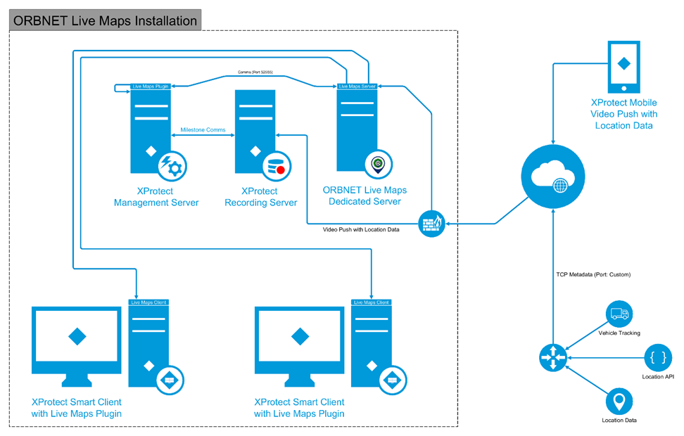
Software Schematic
Video Example
Downloads
Downloads
Create a free account now and try it out for 30 days!
Create a free account to Download Installers and Manuals